Improv
Field Instructables You Can Actually Follow
Static how-tos for ATAK workflows, COTS gear, script helpers, and benign hardware outlines — inspired by DARPA Improv spirit.
#1 Improv, #2 Deer Awareness, #3 High Altitude Balloon Path, #4 Camera Map, #5 MeasureGeo, article Finding pilots without emitting RF -- Combat Search and Rescue (CSAR) RF flashlight from space, on X Watch Agadez grow (be built), then handed back, to now. Northern Niger. Keep on eye on it!
Build logs
Working tools, and the story of what went wrong building them. The failures stay in, because those are the part worth reading.
Field Instructables You Can Actually Follow
Static how-tos for ATAK workflows, COTS gear, script helpers, and benign hardware outlines — inspired by DARPA Improv spirit.
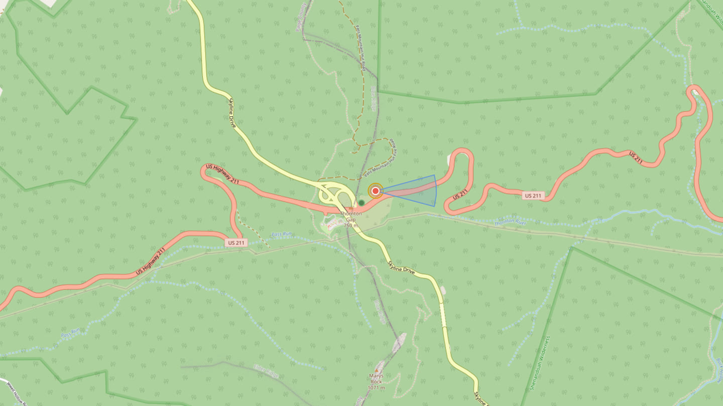
Ready for Deer Season — Hearing Lobe, Smell Cone, See Hint
Live on the App Store as Deer Awareness. A wind-biased hearing lobe, downwind smell cone, and a rough see hint for the woods. Export KML for Google Earth or TAK.
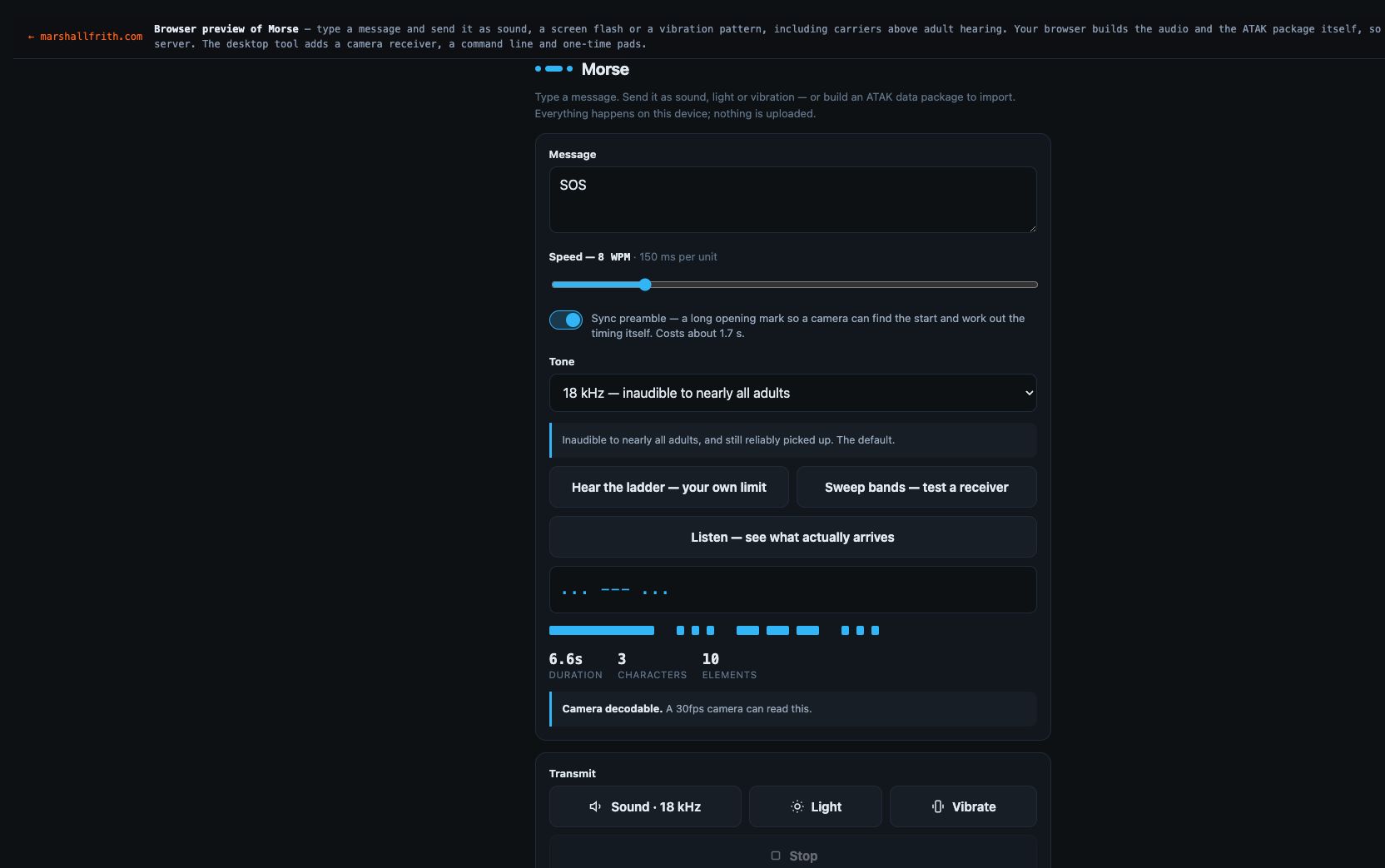
Morse Hidden in a Beat, In Earshot
A basic house loop carries the Morse as a quiet voice under the kick. Anyone standing there hears a tune, not dits. That is the send you can play out loud.
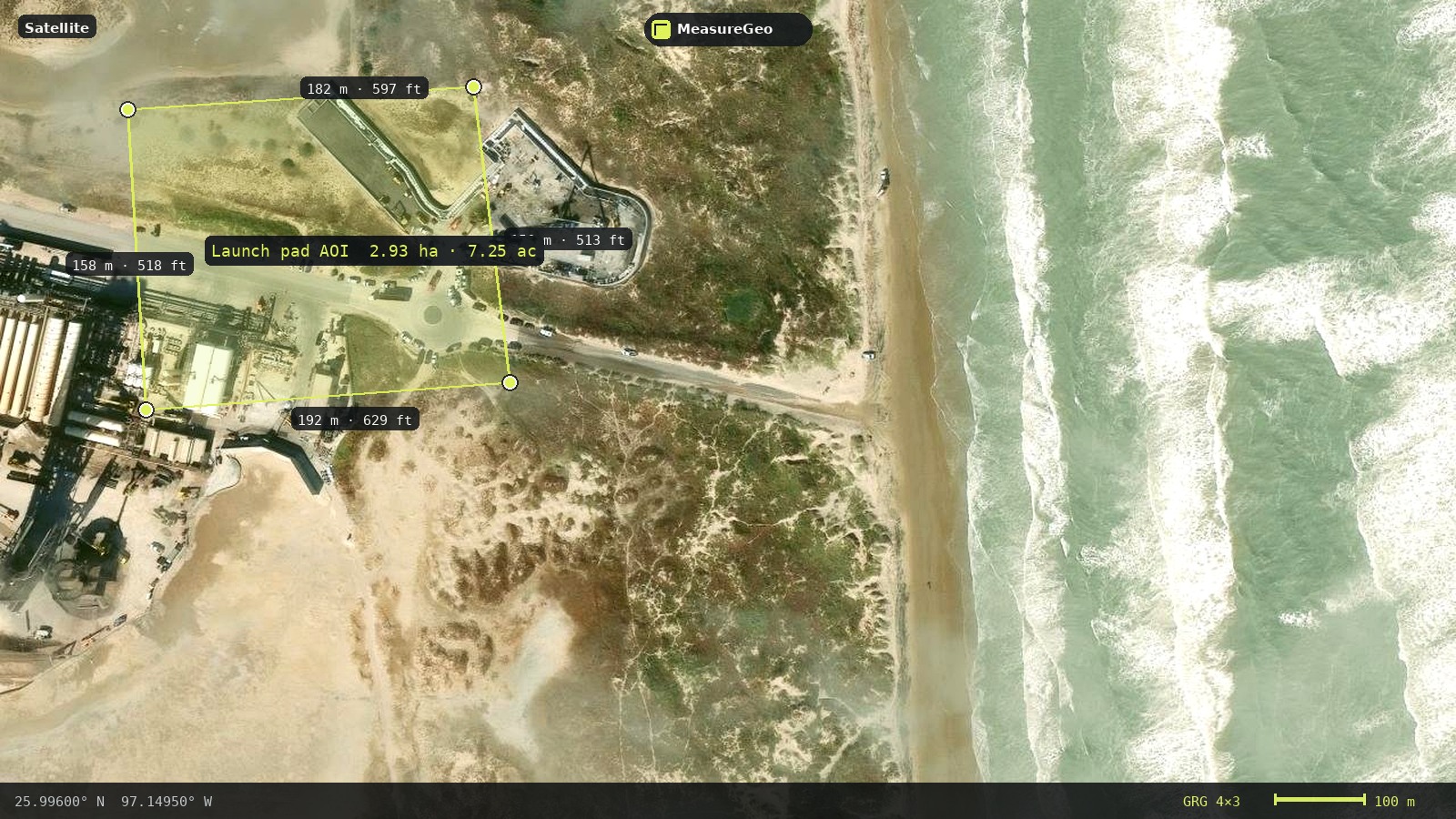
MeasureGeo — a simple map toolkit for everyday geospatial work. Plot farms, solar arrays, pools, hunting tracks, and other AOIs; measure and label; drop a GRG grid; export PNG/KML for ATAK and other tools.
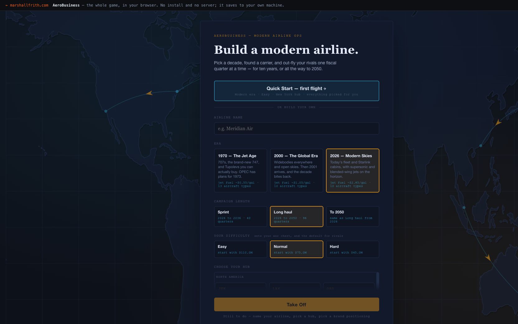
AeroBusiness, and the Bugs My Tests Were Too Polite to Find
A turn-based airline tycoon in one file, no account and no server. Also a catalogue of the bugs that only appear when you stop testing and start clicking.
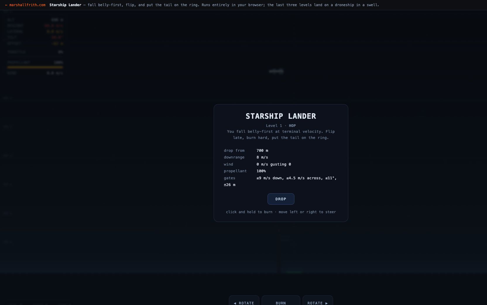
Nobody Could Land It, and the Difficulty Was Never the Problem
A browser game where a Starship-shaped vehicle falls belly-first at terminal velocity, flips, and lands on a ring or on a droneship deck heaving in a swell. It was unlandable for weeks, and never because it was hard.
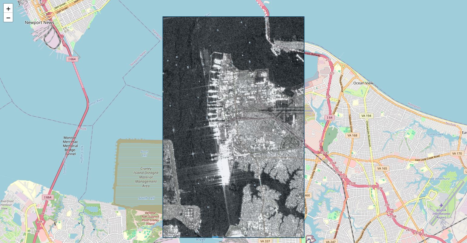
Finding Ships in Radar, Without a Neural Net
Finds ships in free Sentinel-1 radar and measures them. 76% accurate on vessel type over 326 vessels, checked against AIS.
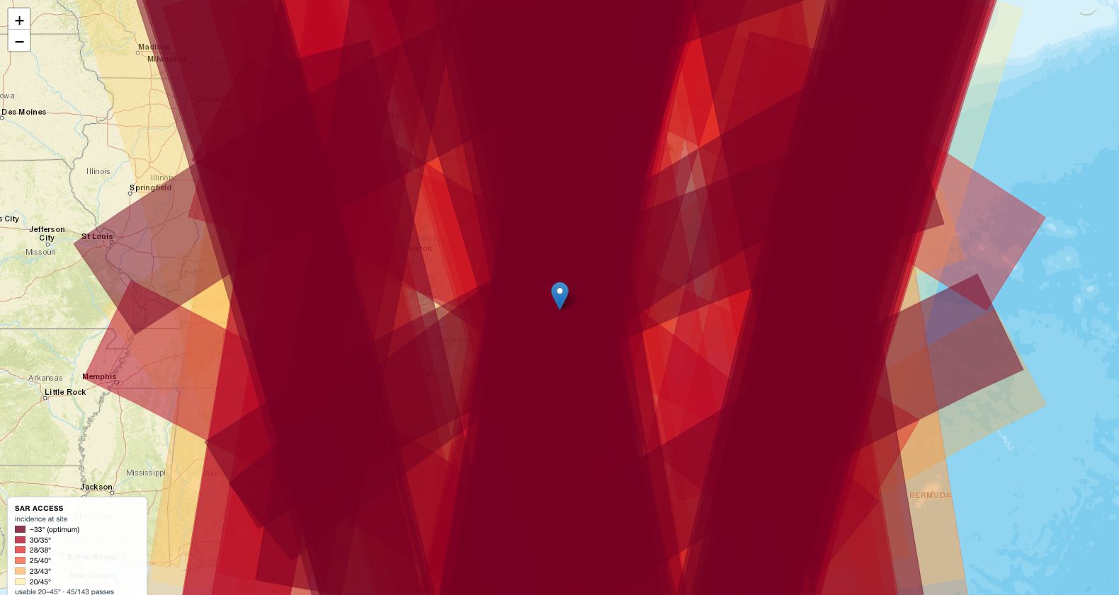
The Satellite Pass Directly Overhead Is the One You Cannot Use
Predicts when a radar satellite can actually image a spot, which is not the same as when one flies over it. About a quarter of passes are usable, and the best-looking ones are the worst.
The Daily Picture, Not the Ten-Metre One
Scrub daily NASA Worldview imagery over a box. Global, once a day, many sensors — the other timeline from the Sentinel-2 change tool.
A Camera That Needs a Password Can Never Be Handed to ATAK Directly
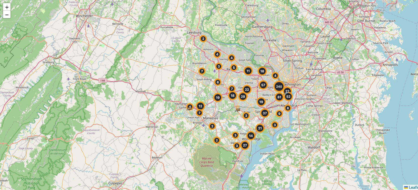
Maps 35,944 public cameras and re-publishes any of them as a stream ATAK, VLC or a recorder can open. The format ATAK uses for video has nowhere to put a username, which decides almost everything else about how it works.
I Built a Home Run Predictor and It Does Not Work
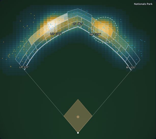
Where tonight's home runs land — park history picks the seat, a two-lobe spray draws the cloud, and a scored season says how often that works.
The Landing Pin Is an Estimate
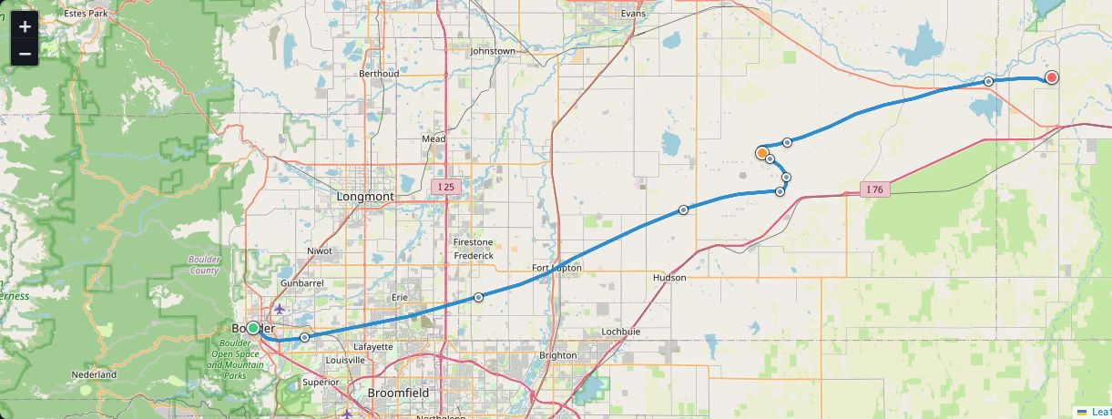
Predicts where a high-altitude balloon flies and where it comes down, then hands you the track for ATAK. Estimates only.
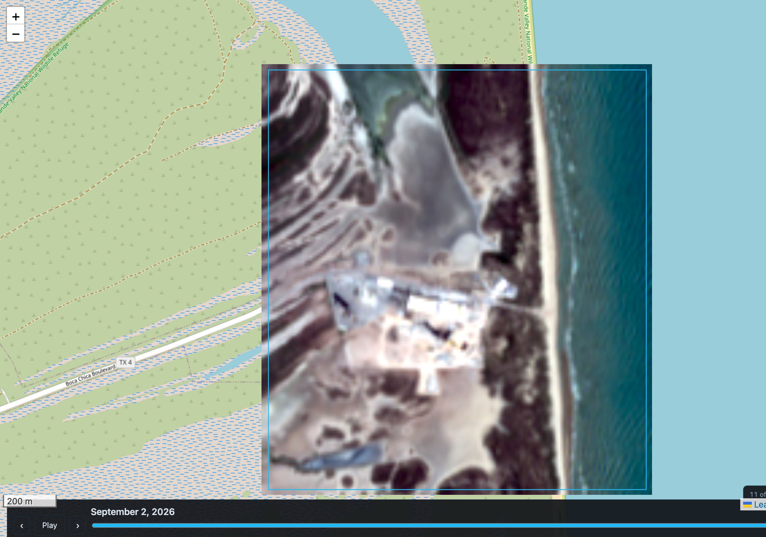
When Did This Ground Change?
Live on the App Store as Sentinel-2 Clear Days. Draw a box, scrub nine years of Sentinel-2 over it, and get the date each pixel changed — with a threshold that was measured rather than chosen.
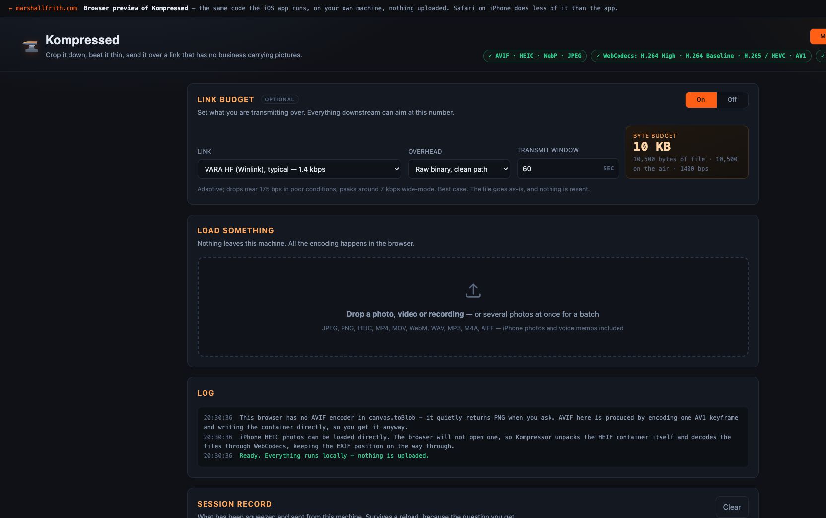
iOS app for tiny radio pipes. Fits a photo or a short clip under the byte budget HF, LoRa, or Iridium actually gives you. Live on the App Store.
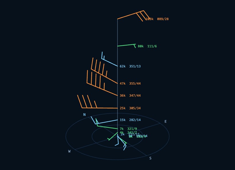
Winds Aloft to 103,800 Feet, Anywhere on Earth
Wind from the ground to 103,800 feet, anywhere. The holes in the ladder are interpolated and marked, then handed to ATAK, Google Earth, or anything that opens KML.
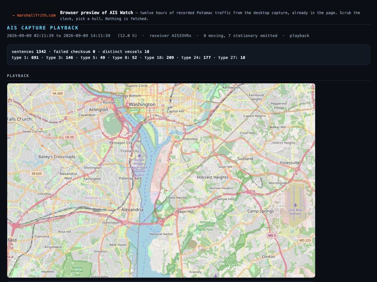
Twelve Hours of a Harbour, Already in the Page
Plays twelve hours of recorded Potomac AIS from the desktop capture. The live tool listens; this is the playback file.
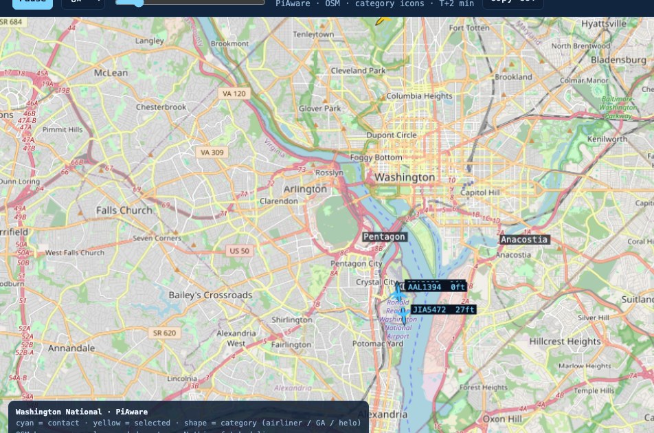
The Air Picture, Already in Cursor-on-Target
A real PiAware ADS-B capture around Washington National, drawn the way it lands on a TAK tablet. An export bakes the window into a static page. This is that page.
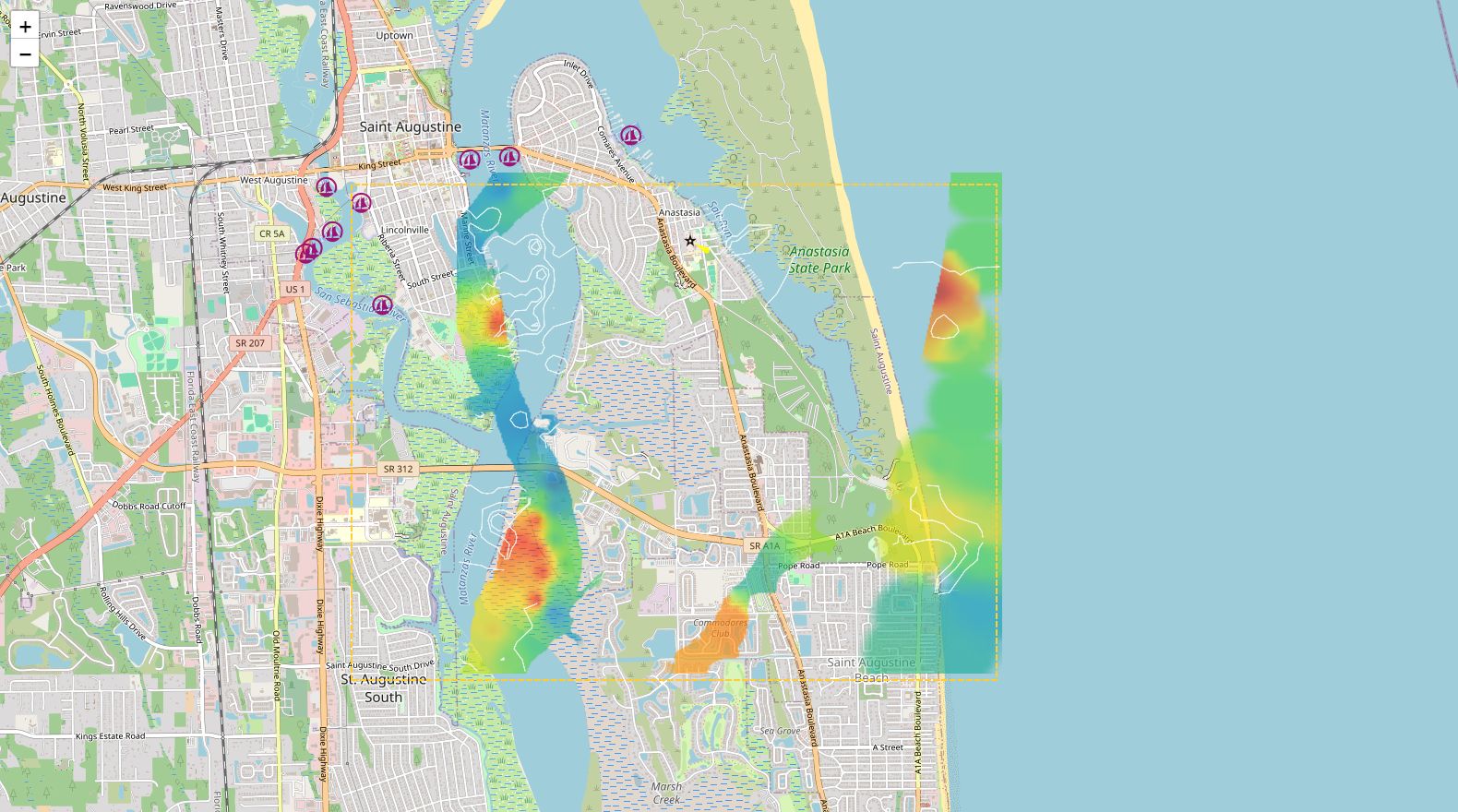
Live Bathymetry for Google Earth, ATAK, and a Chartplotter
Live water depth for any area you pick, exported for Google Earth, ATAK, QGIS or a chartplotter.
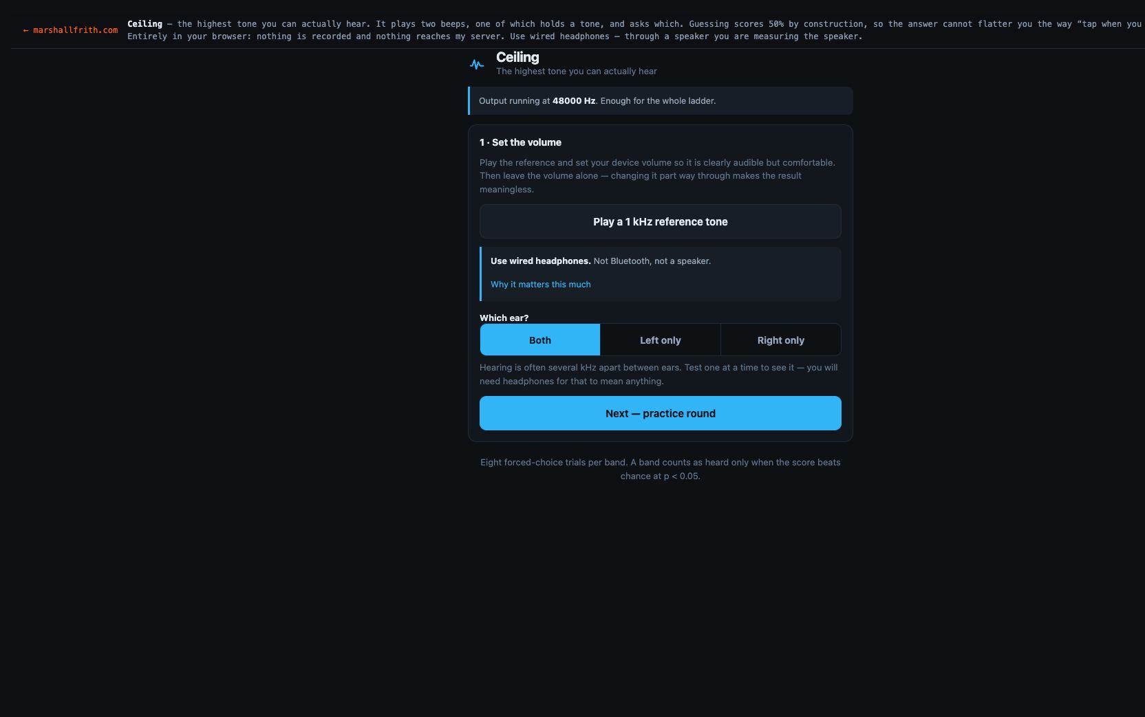
Tap When You Stop Hearing It Will Flatter You
Two beeps, one tone. Guessing scores 50% by construction, so the highest frequency you can hear cannot flatter you.
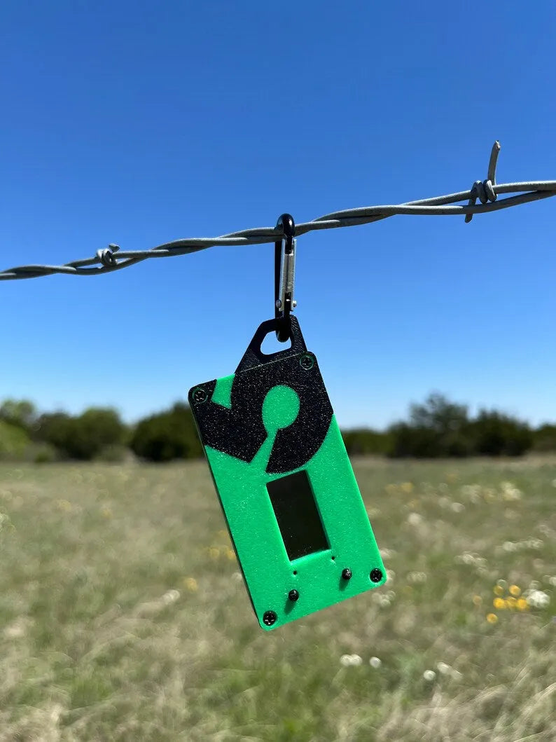
A 549-byte Kompressed still crossed Meshtastic LoRa between two Spec5 MiniTrekkers, with ACKs. Deer-cam use is a 100-byte confidence ping, not a picture.
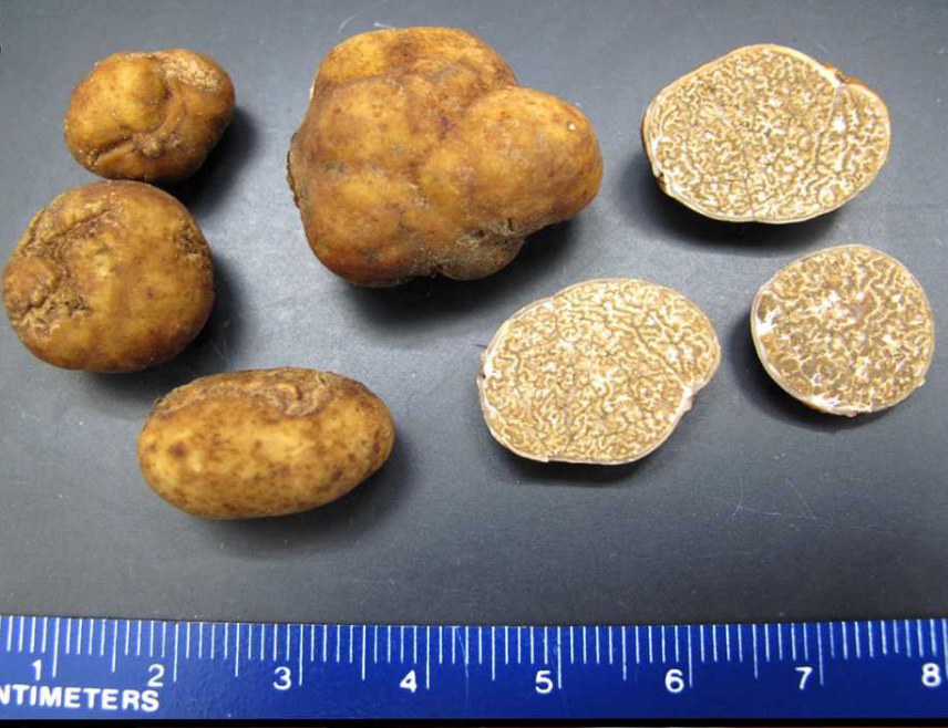
Desktop NDVI Scope turns a multi-year May–September canopy stack into soil-sample pins for a pecan orchard. The pins are bags for the lab, not a pH map and not a truffle map.
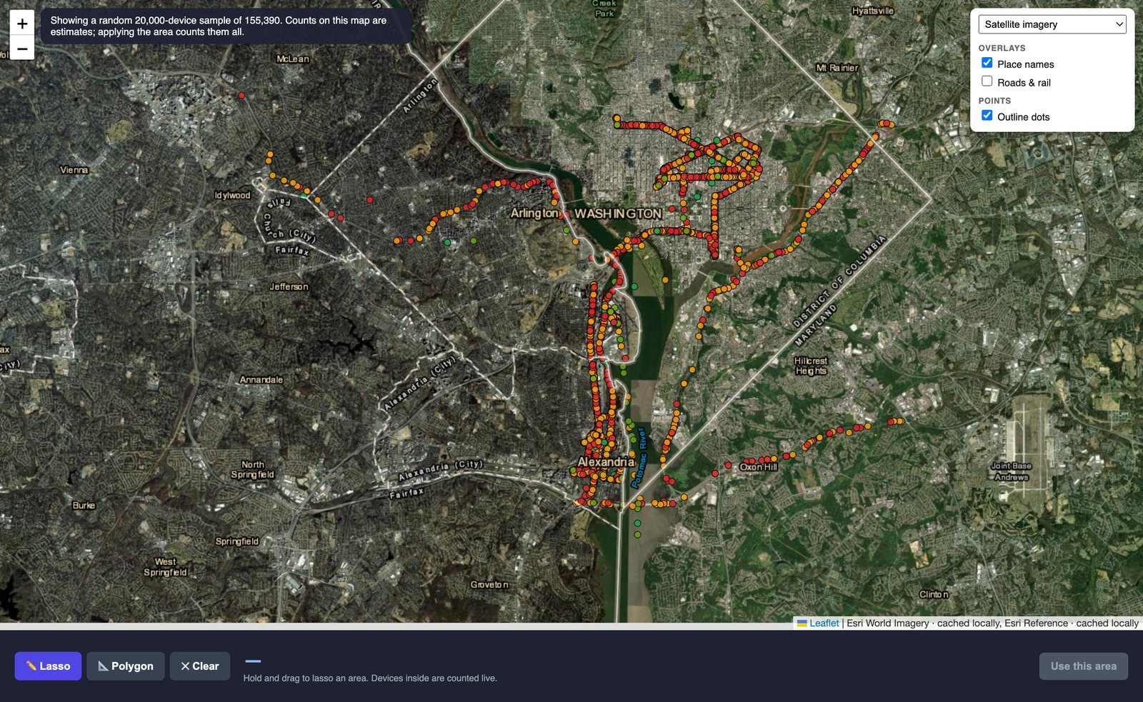
Reads Craxiom RF survey exports and answers what was where — then throws away the 92% of it that means nothing.
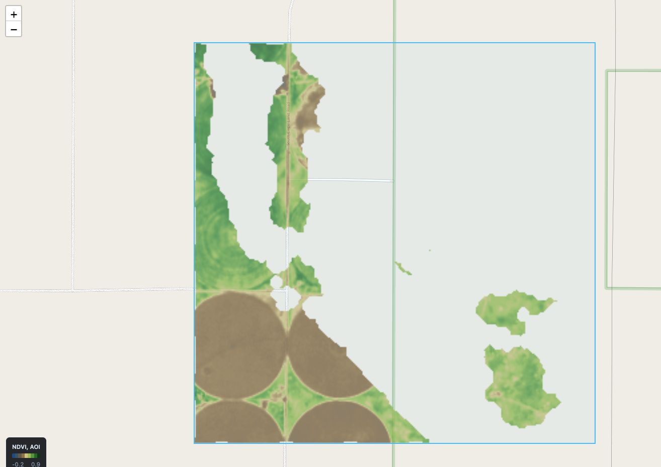
Draw a field, pick a satellite pass, get NDVI, NDWI or EVI you can walk to. Alignment proven to a 25th of a pixel.